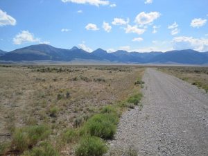
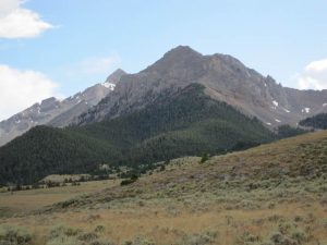
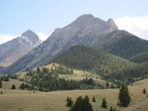
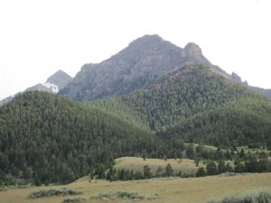
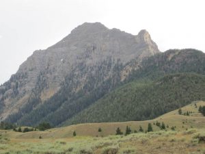
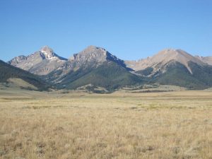
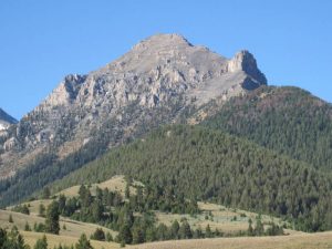
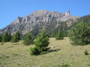
Umpleby Peak, in Eastern Idaho, about 100 miles west of Yellowstone Park, was named after Joseph B. Umpleby who did early geological work in Idaho around 1910 while working for the U.S. Geological Survey. Joseph B. Umpleby is the grand father of Stuart A. Umpleby.
Umpleby Peak is in the Lemhi Range near Gilmore, Idaho, which is mentioned in JBU’s papers. Gilmore is due west of Yellowstone National Park, northwest of Idaho Falls, ID.
Contents
Description of Umpleby Peak in Idaho: A Climbing Guide
10,713 feet (Class 3-4)
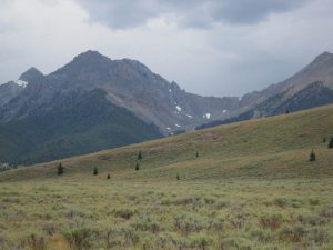
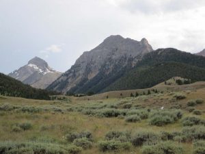
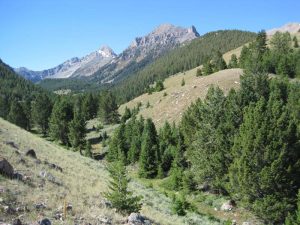
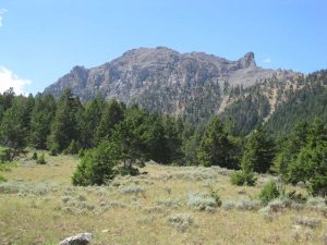
This spectacular peak located between Peak 10490 and Bell Mountain presents a cliff-riddled face toward Birch Creek that resembles a ship’s prow. Although Bell Mountain is 900 feet higher and lords over this peak, Umpleby is equally impressive in its own right. Its summit is protected by cliffs of varying heights on all sides and its north summit is nothing short of superb. This peak is named for Joseph B. Umpleby (1883-1967), a USGS geologist who wrote Geology and Ore Deposits of Lemhi County in 1913. Umpleby, who was the first to suggest Lemhi as the name of the range, collaborated with R.N. Bell. The peak has been climbed from both the east and the west sides of the crest. From the east, climb the east face from Bell Mountain Canyon [(A)(4.1.1)(a)]. In the west, access the peak from Bassinger Canyon [(C)(7)]. Hike the canyon to the base of the peaks, then climb to the saddle between Peak 10490 (The Knoll) and this peak and climb the northwest ridge (main crest). This ridge reportedly can cause some problems with route-finding. No other details of the climb are known. First assent: R. Baugher in 1991. USGS Coal Kiln Canyon.
Tom Lopez, Idaho: A Climbing Guide. The Mountaineers Books, 2000, p. 305.
Climbing Route
(class 1 is horizontal, class 5 is vertical).
by Rick Baugher (1366 E 21st Street, Idaho Falls, ID 83404, 208-523-6056, in 1991)
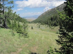
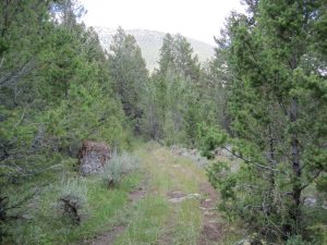
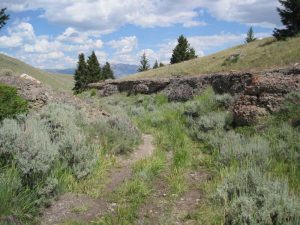
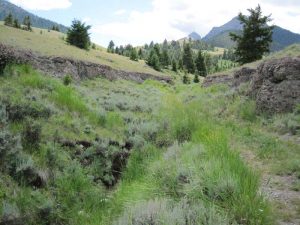
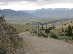
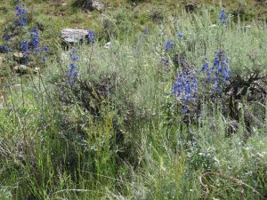
Best approach is from the Birch Creek Valley side. A graded gravel road leads to the Charcoal Kilns, then 4wd or trail bike into Bell Mountain Canyon to road closure at 7900 feet. Hike south up faint open trail. Train ends, enter open forest of Douglas Fir. Cross divide to West Fork of Bell Mountain Canyon. Beautiful meadows with seasonally abundant wildflowers open up. Enter stunted spruce then shattered rock of cirque, gaining the headwall, which is the crest of Lemhi Range at 9900 feet. A cliff blocks the ridge-line to the summit. Skirt this by ledges to the right. Then scramble up SE face of mountain directly to summit. This is boot bashing limestone scree. If conditions are dry the climb is rated class 2 to 3 (easy climbing –hand holds barely needed, minimal exposure). Descend the same way. Difficulty increases dramatically when foggy, windy, wet or snow. Other climbing routes are possible but considerably more difficult. This is a very rewarding one day climb offering outstanding scenery, majestic views, and total solitude.
Photos and climbing directions for nearby Bell Mountain
http://www.summitpost.org/mountain/rock/152516/bell-mountain.html
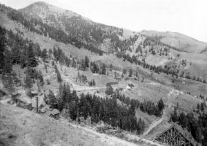
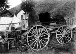
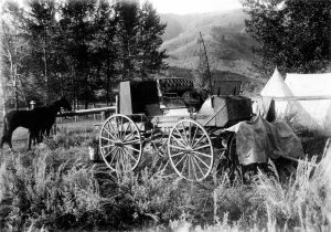
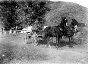
Photos of the area by J.B. Umpleby
Photos of J.B. Umpleby
Maps
Map and photos of Umpleby Peak
Photos and climbing directions for nearby Bell Mountain
Topographic Maps and Explanation
Umpleby Peak and Bell Mountain map
George Carter is a friend of Stuart Umpleby from graduate Students days at the University of Illinois in Urbana-Champaign. Cater grew up in Twin Falls, Idaho. Carter and Umpleby and other UIUC students twice took a hiking and camping trip to the Sawtooth Mountains of Idaho in the 1970s. Carter downloaded the relevant topographic maps and located Umpleby Peak. The map was last updated in 1987 and at thar time this peak was unnamed. Look at the Coal Canyon map in the area between 24 and 25 on the x-axis and between 02 and 03 on the y-axis (non-technical terms used for clarity). The peak labeled “10713 T” is Umpleby Peak. It is in the middle of the bottom edge of the map. The Bell Mountain map covers the area just below.
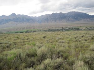
Views of Umpleby Peak
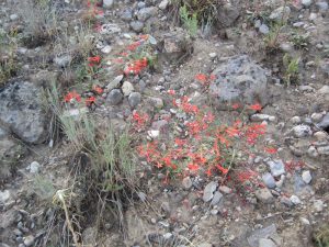
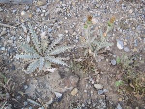
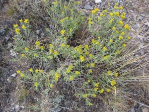
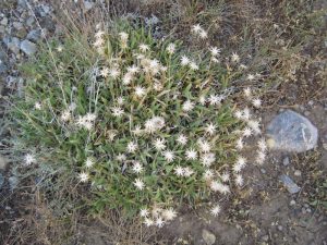
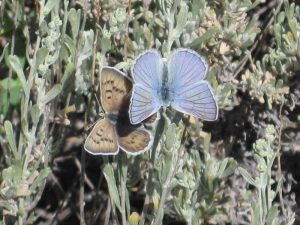
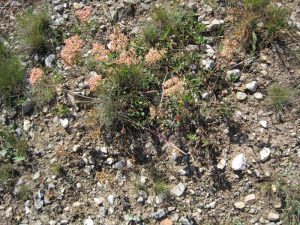
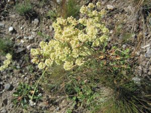
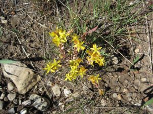
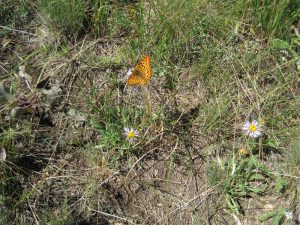
Flowers on Umpleby Peak
 |
 |
 |
 |
 |
 |
 |
 |
 |
 |
 |
