Mapping Segregation Data
DC's Segregated School System
The data used by Prologue DC to map segregated schools are here.
U.S. Census of Housing Data
1940
Characteristics of Housing for Census Tracts, by Blocks: (.xlsx)
DC blocks (shapefile)
DC blocks with Characteristics of Housing by Blocks (shapefile)
1950
Characteristics of Housing for Census Tracts, by Blocks: (.pdf, .xlsx, .csv)
DC blocks (shapefile)
DC blocks with Characteristics of Housing by Blocks (shapefile)
1960
Characteristics of Housing Units, by Block: (.pdf, .xlsx, .csv)
DC blocks (shapefile)
DC blocks with Characteristics of Housing by Blocks (shapefile)
1970
DC housing statistics by blocks (.pdf, .csv). Data compiled from files at NHGIS.org
DC blocks (shapefile)
DC blocks with housing statistics by block (shapefile)
Note to users
The data in the Excel spreadsheets were transferred by hand from the PDFs. Should you encounter a discrepancy or other anomaly, please report it to info@prologueDC.com.
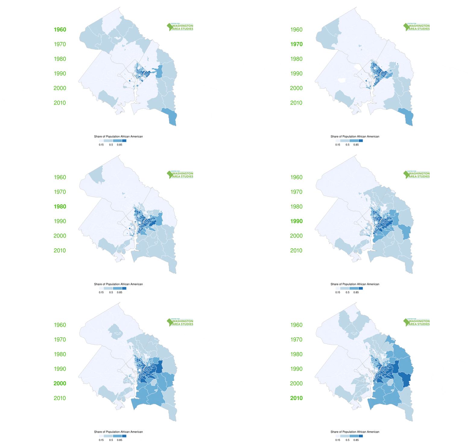
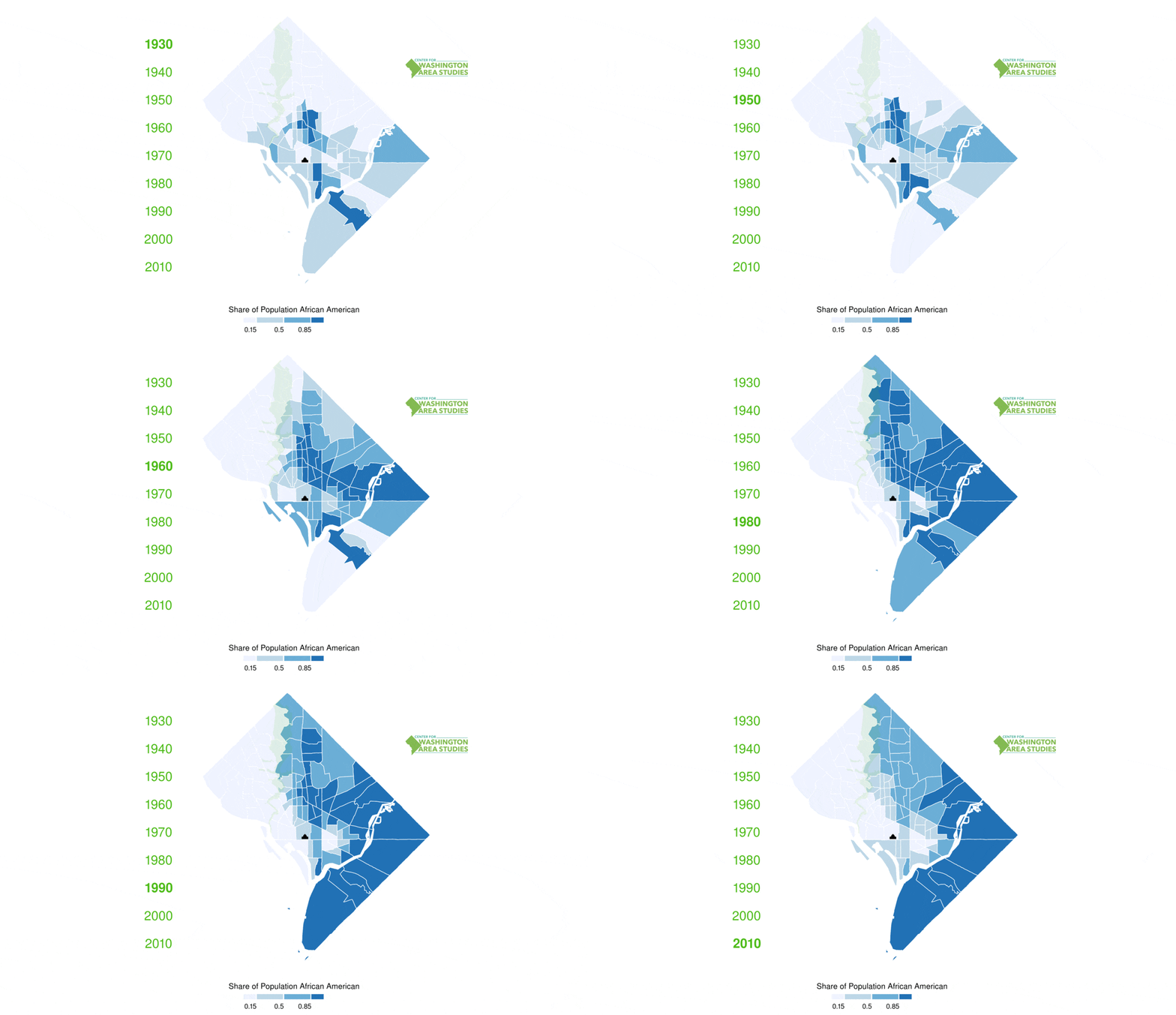
Racial Change Over Time
Animated Figures: Greater D.C. Area, 1960 to 2010

Animated Figures: DC, 1930 to 2010


